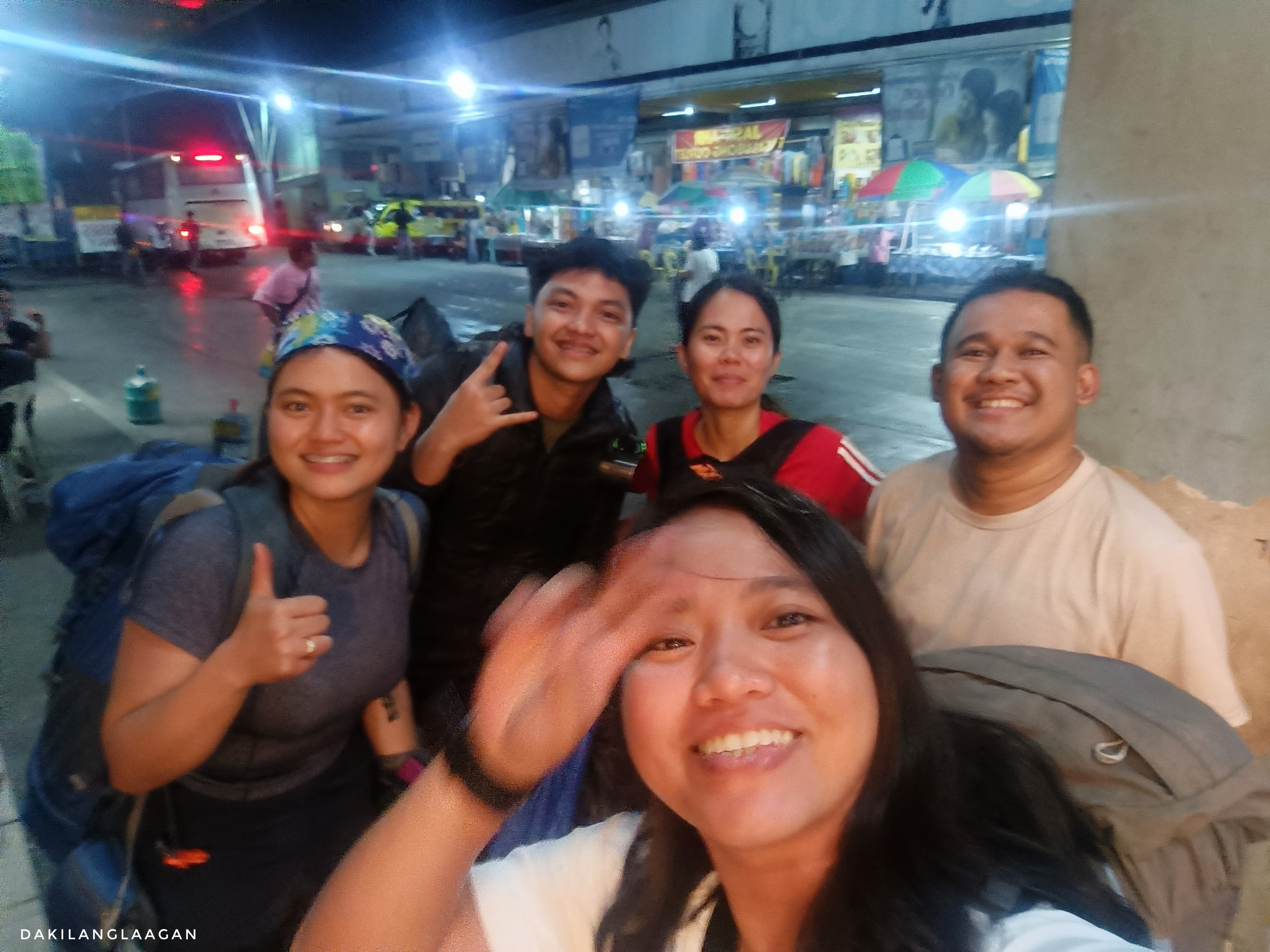
“Why did you start hiking?” asked the youngest member of the group during our socials at Mt. Dulang-dulang campsite on that second night of our KD2LM traverse. True to the words of our guides, it was freezing—and what better way to radiate heat than to cram into a tent and talk about all the crazy life decisions we’ve made in life.
This. This is why I hike.
What is KD2LM? Why Join a KD2LM Traverse?
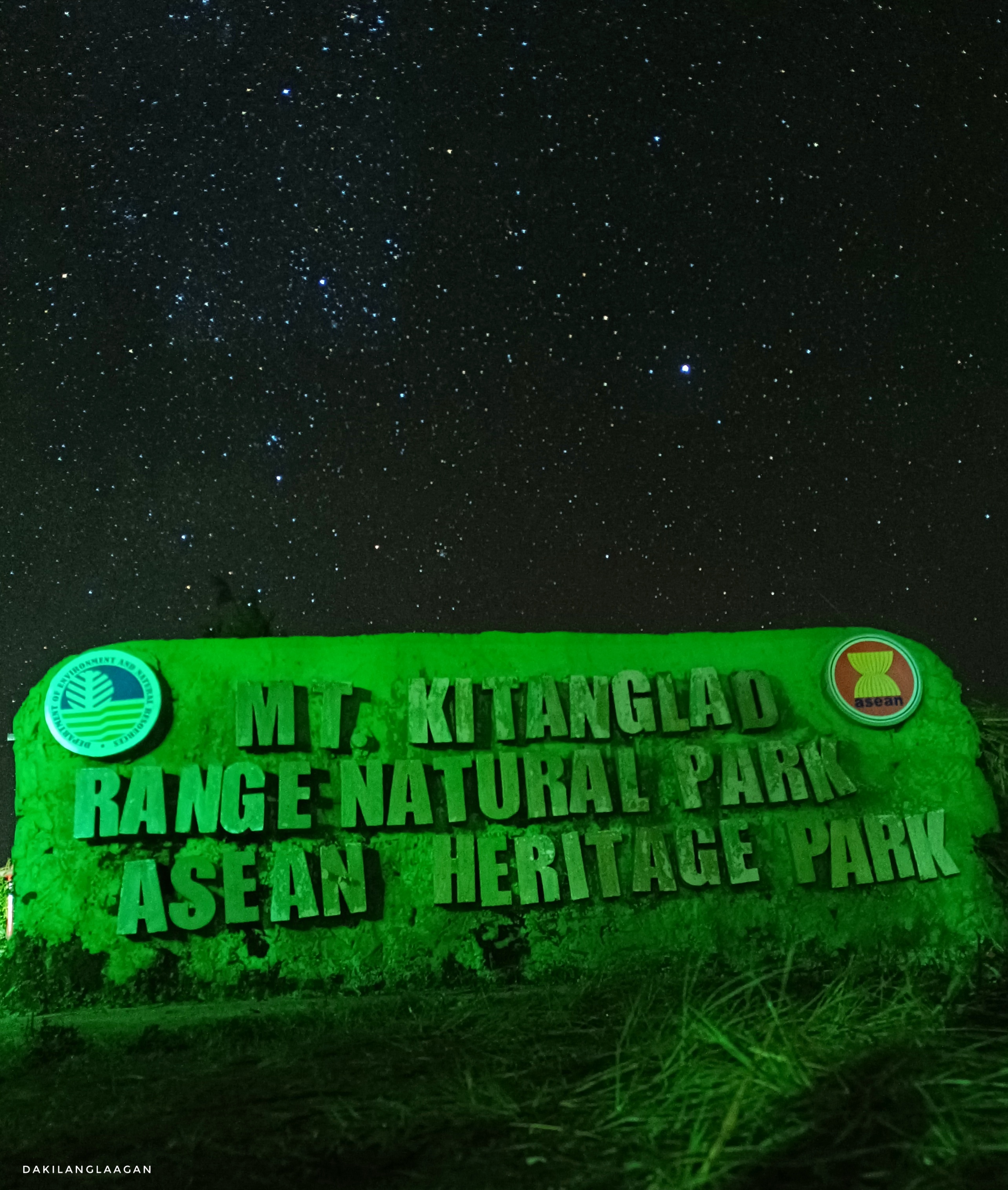
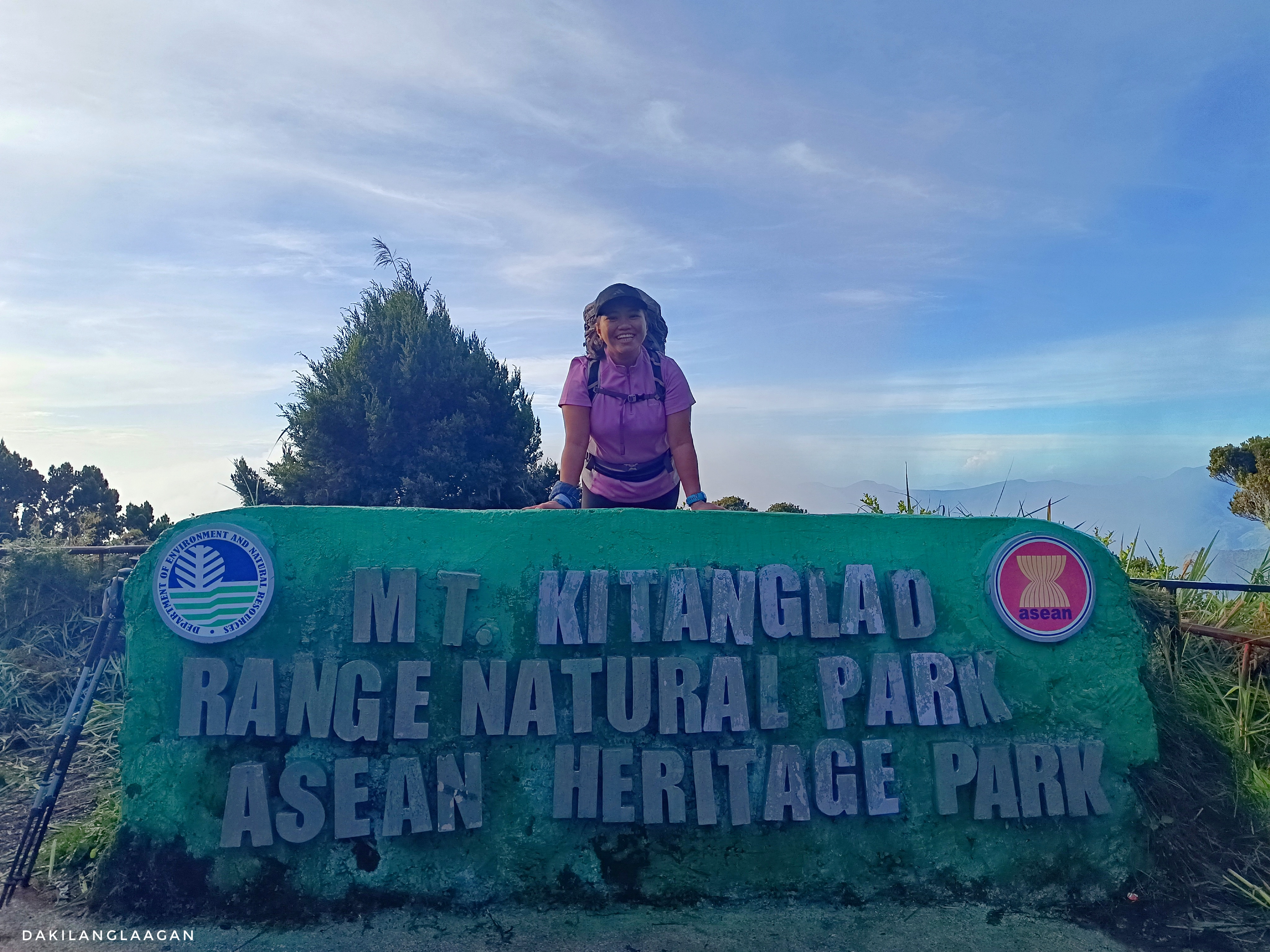
Designated as a Protected Area in 2000 and bestowed the prestigious title of an ASEAN Heritage Park in 2009, the Mount Kitanglad Range Natural Park spans a landlocked expanse of 47,270 hectares in Bukidnon, encompassing the towering peaks of Mt. Kitanglad, Mt. Dulang-dulang, and Mt. Maagnaw—the three highest summits among the 40+ peaks within the range.

Like many aspiring hikers, the KD2LM Traverse (technically KD2M) has long been on my list of mountains to climb. I mean, who wouldn’t? One must appreciate the allure—a single event that affords you the opportunity to conquer the country’s second, fourth, and eighth-highest peaks. Such a feat, right?
Prior to accomplishing this traverse this year, there were actually a number of invitations to hike these mountains, even before the pandemic. But they were all one mountain at a time. And while each mountain presented its own distinct challenges, logistics-wise, it’s way too costly—from airfare to accommodation and event fees.
For a considerable period, the aspiration to traverse Mts. Kitanglad, Dulang-dulang, and Maagnaw lingered as an unfulfilled dream. Until Trailsign Treks and Expedition (formerly known as Challenge the Summit) posted an event on Facebook.
Really? No Sweat? Is the KD2LM Traverse Easy?
Now, don’t get me wrong. The KD2LM Traverse is not a walk in the park. The ascents and downhells are literally not for the faint of heart. Yet, for a girl accustomed to the relentless heat of Cebu, the refreshing cold of Bukidnon was exactly what I needed. While my fellow joiners were already sporting goosebumps during our jeepney ride to the jumpoff area, I was enjoying every inch of that cold weather. Ah, free aircon.
As the temperature dropped to 12 degrees (according to my somewhat unreliable smartphone), breaking a sweat was undoubtedly challenging. At times, we deliberately lingered on the open trails during the hike, hoping to bask in the midday heat, but the cold weather stubbornly persisted. As our guides put it: “Mangusi ang kabugnaw.”
So, How Was the KD2LM Traverse?
Day 1: Mt. Kitanglad (Meetup, Ritual, and Direct Ascend to Mt. Kitanglad Summit)
This has got to be one of the longest days ever. I rolled into Valencia, Bukidnon, at 10 in the evening, attempting to grab as much shuteye as I could before our 4 AM meetup. Luckily, my previous MusPo experience last year had me somewhat acquainted with the place, making things a tad more convenient.
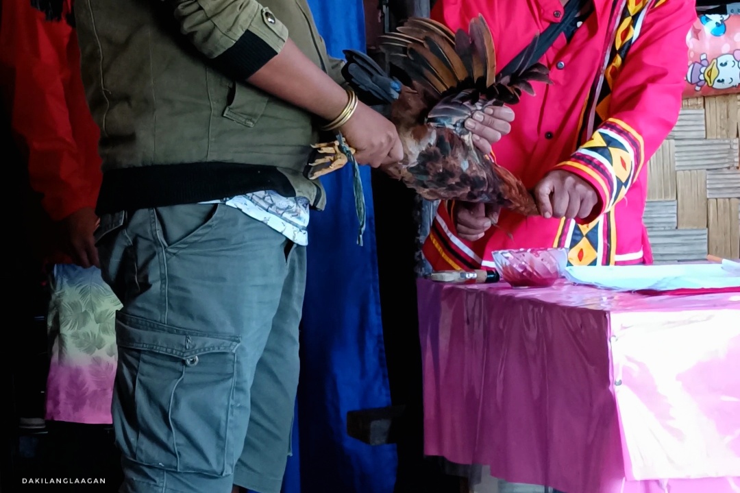
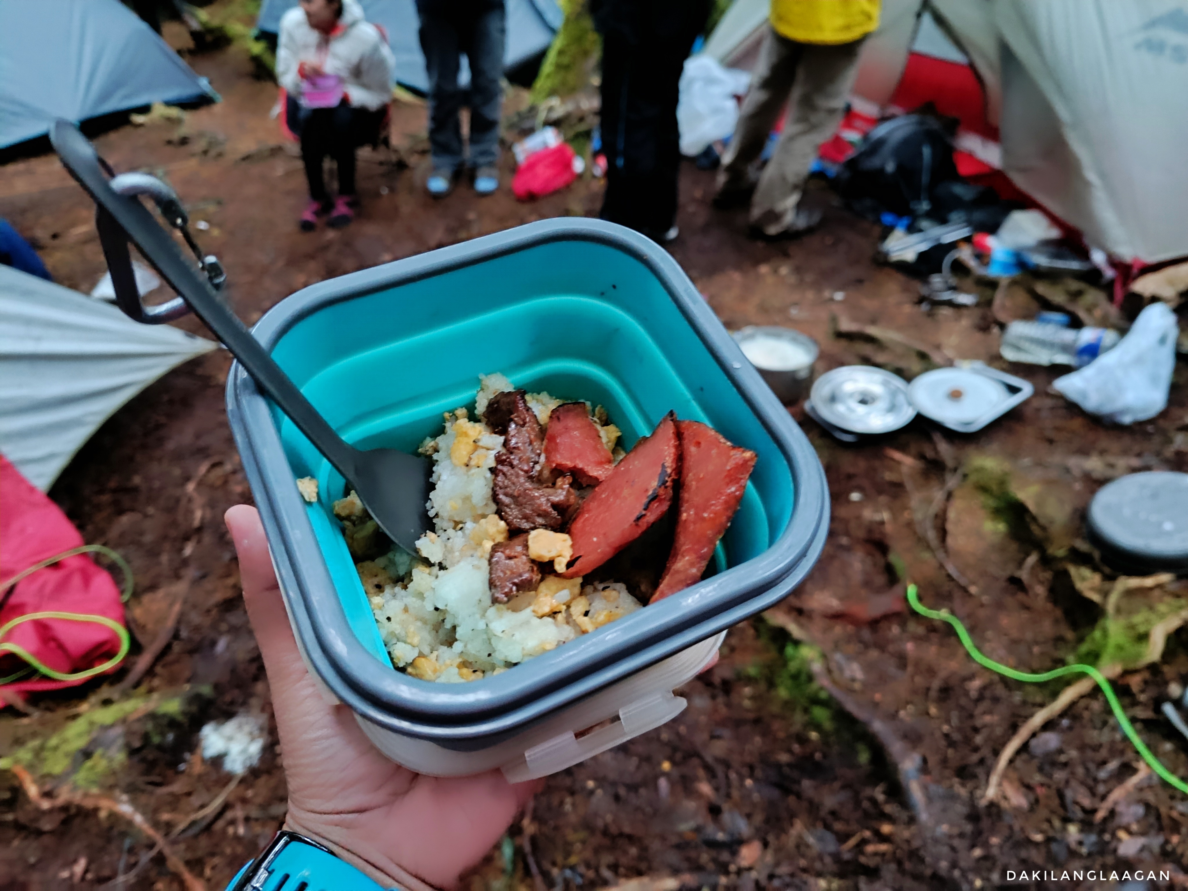
From Valencia, we traveled to Malaybalay to grab breakfast and pack meals for lunch and dinner. From there, we traveled for approximately an hour to Kitanglad jumpoff, where the Datu officiated the customary ritual for safety, like the ones we did on Mt. Kalatungan.
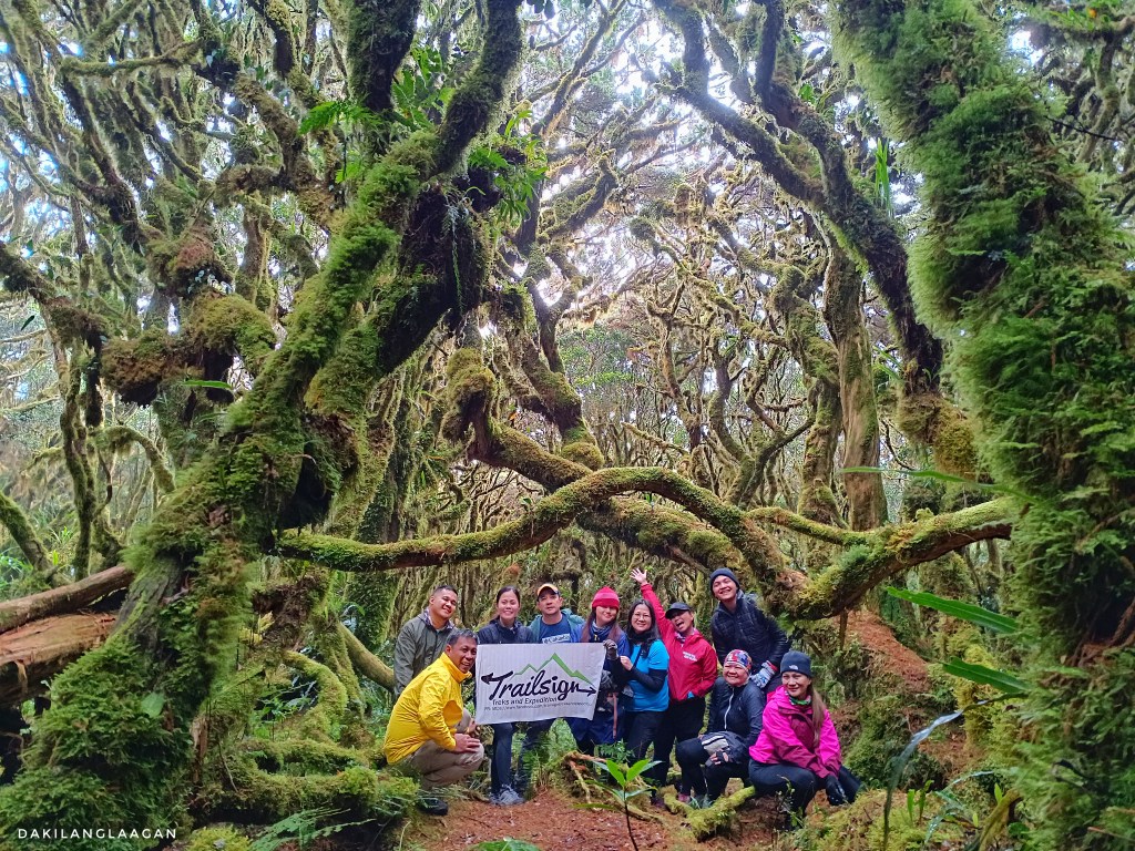
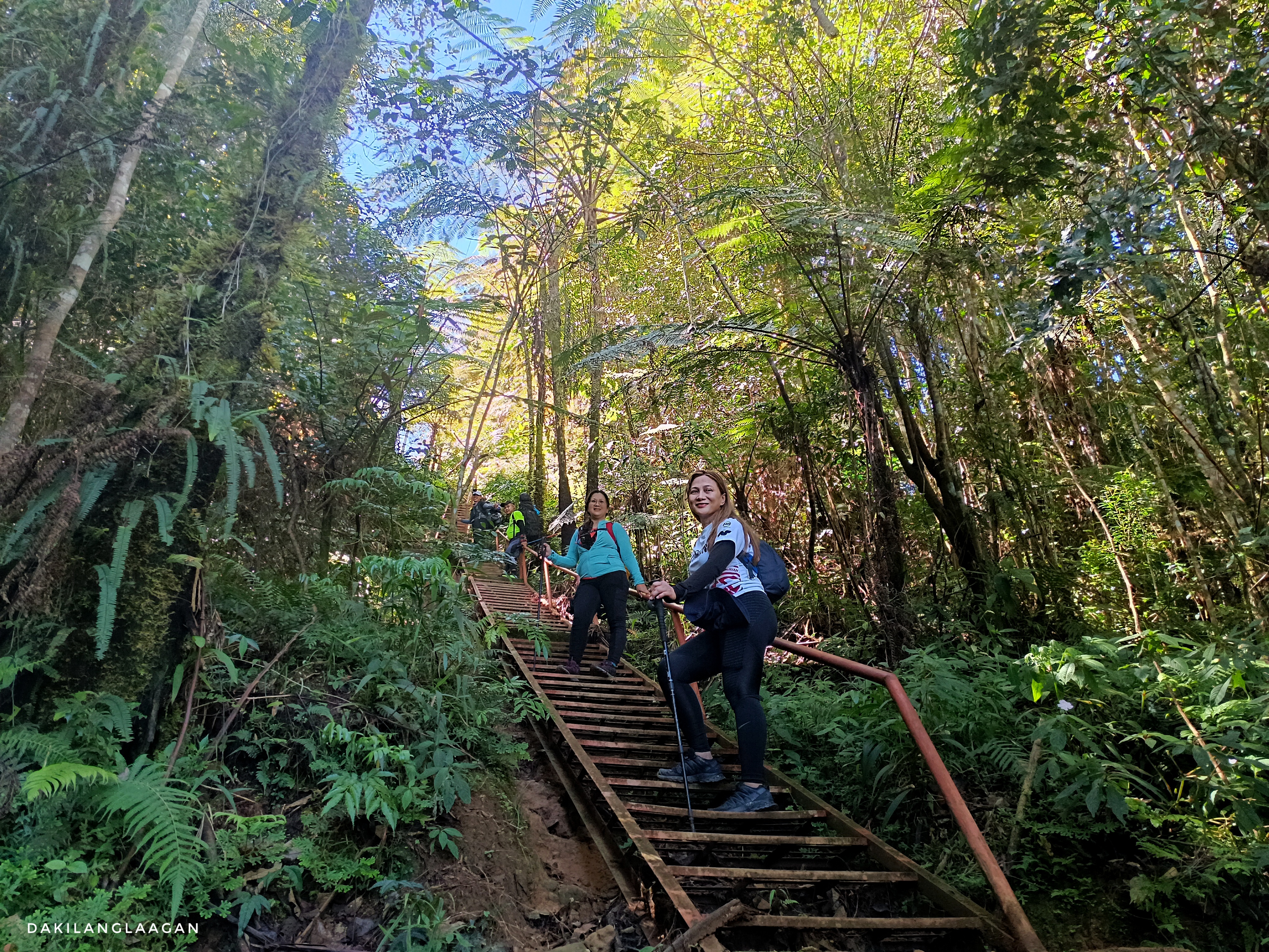
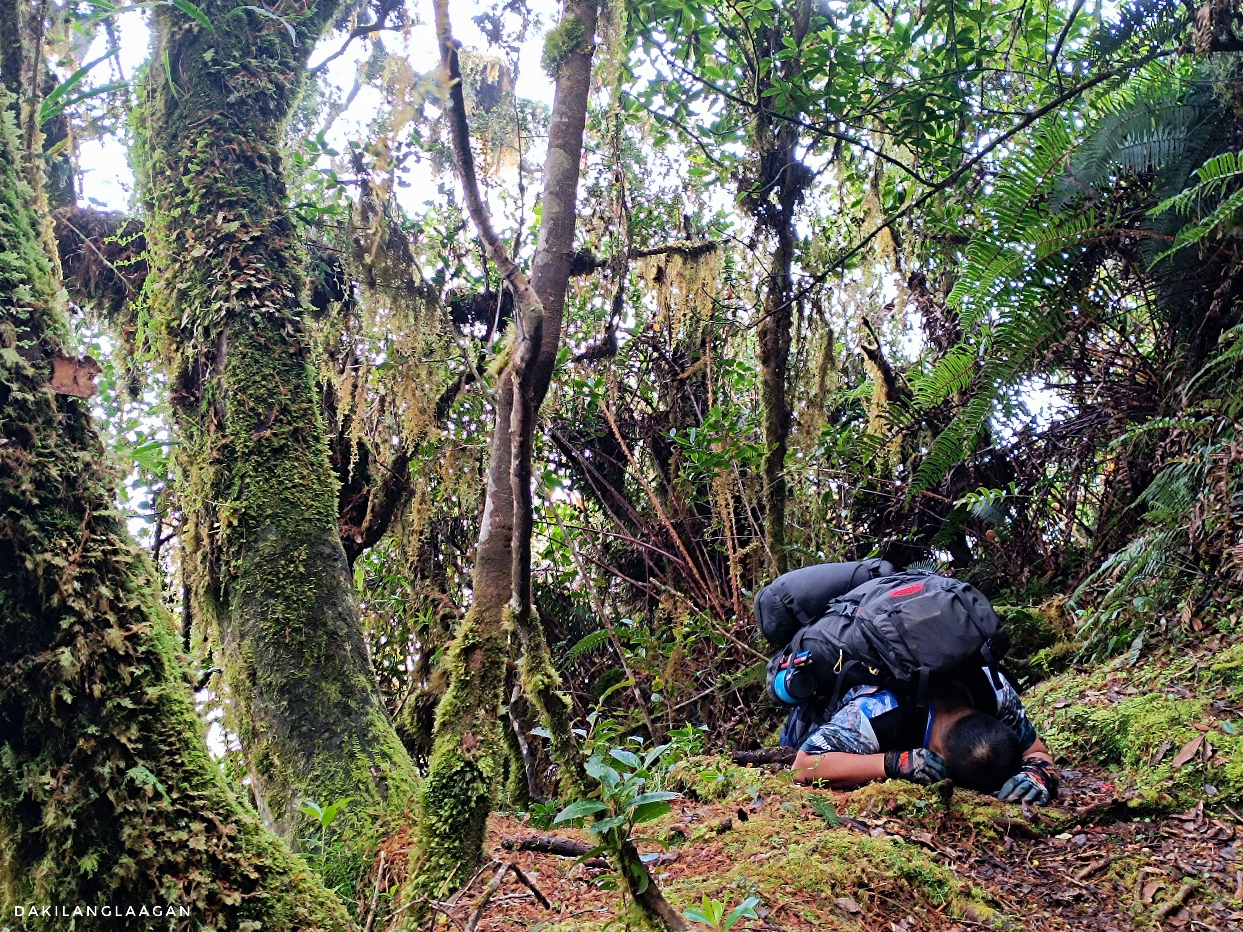
The hike from the jump-off to the summit spans approximately 7 km+, with an elevation gain of around 1,300m. Despite starting the hike around midday, the trails were surprisingly welcoming. Covered by the shade of forest trees and featuring broad paths reminiscent of Pulag’s Ambangeg Trail, the journey to Mt. Kitanglad, while lengthy and demanding, could be considered beginner-friendly, in my opinion.
And what’s even more enticing is that—no, not the notorious steel stairs along the trail—there are bunkbeds at the summit that offer a comfortable retreat after the seemingly unending ascents. There’s also electricity, so you can charge your gadgets and even listen to the radio.
The summit has been home to locals working at the province’s communication towers, including ABS-CBN and GMA. These dedicated individuals often spend weeks, and sometimes even months, at this elevated location. So, just picture their joy when they witness fellow enthusiasts reaching the summit. During our visit, one enthusiastic employee couldn’t contain his excitement and enthusiastically shared stories with us. He went above and beyond, even guiding us to climb one of the towers that had ceased operations!


Despite the apparent comfort provided by the available resources on top of Mt. Kitanglad, a significant concern persists—the scarcity of water. As per the employee there, it hasn’t rained for two weeks, so the potable water that they have saved has been slowly consumed, especially since the mountains have been opened and a number of climbers have frequented the area.
Personally, I hate it when it rains, especially during major hikes. It’s not just the inconvenience of getting drenched, which makes your load feel like it has doubled in weight, but the nighttime cold intensifies, which makes it challenging to get a good night’s sleep. However, after listening to stories like this, similar to the concerns of farmers during the dry season, I can’t help but empathize and reconsider my own worries.
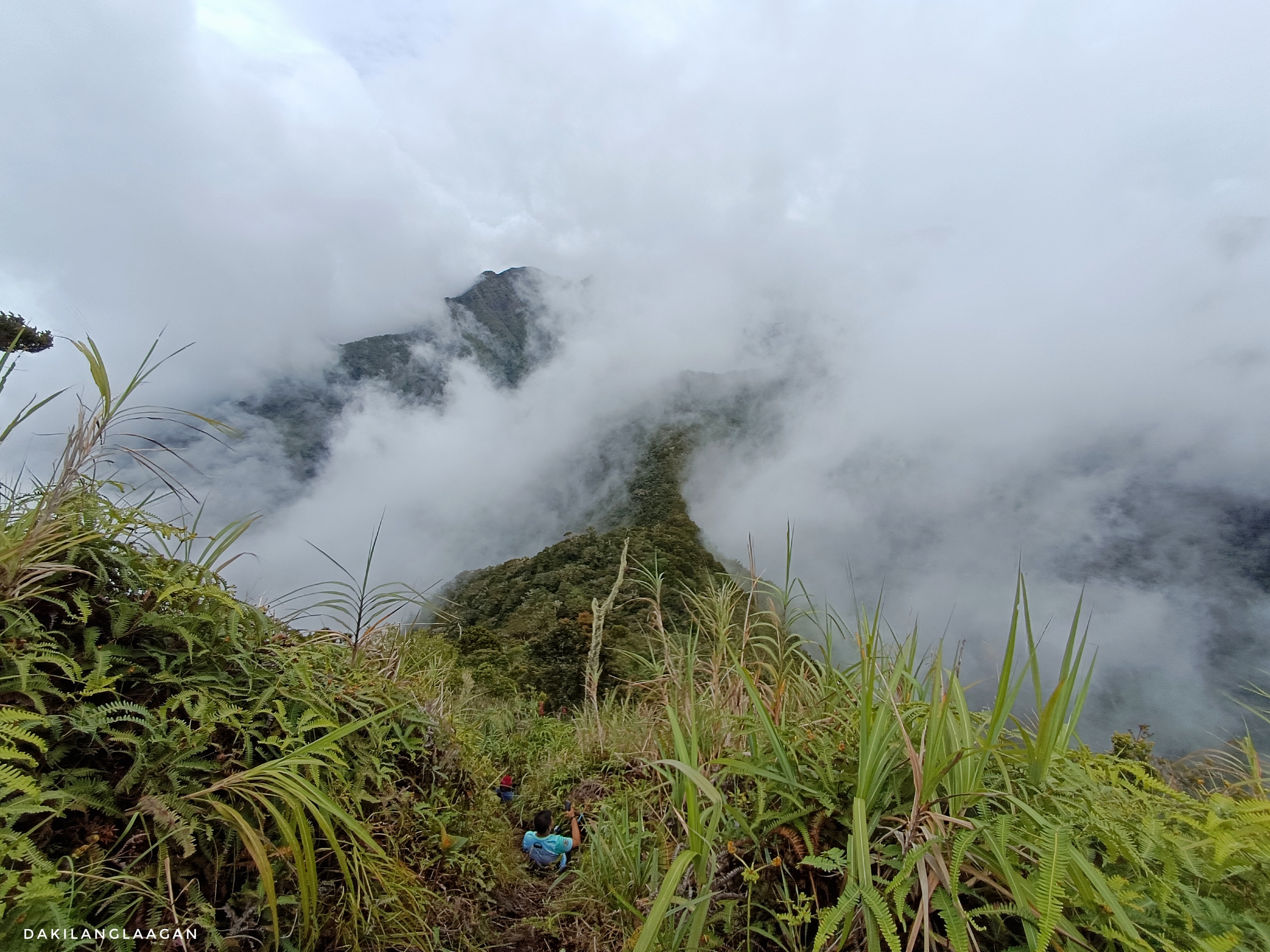
Day 2: Mt. Dulang-dulang (Technical Traverse)

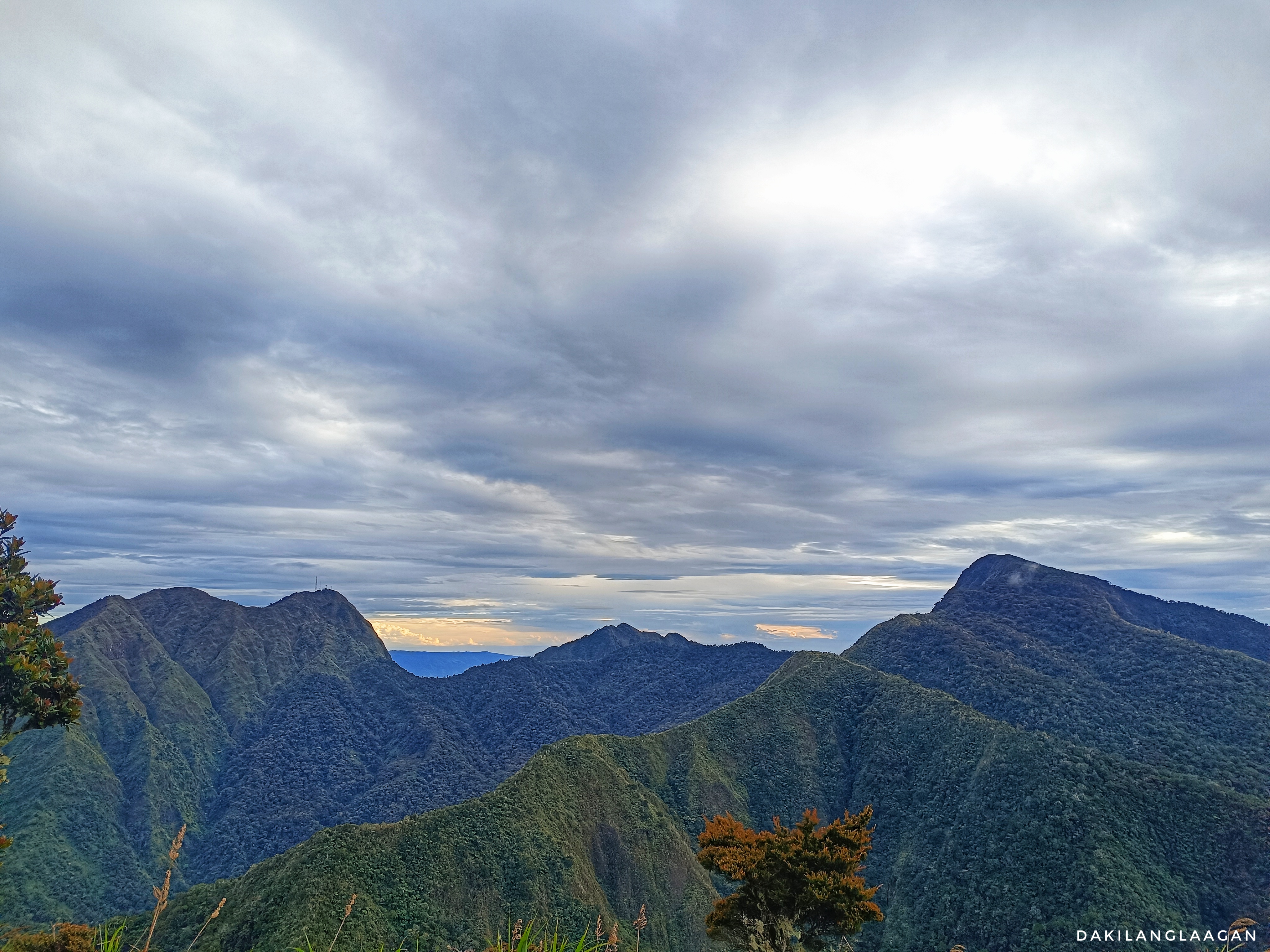
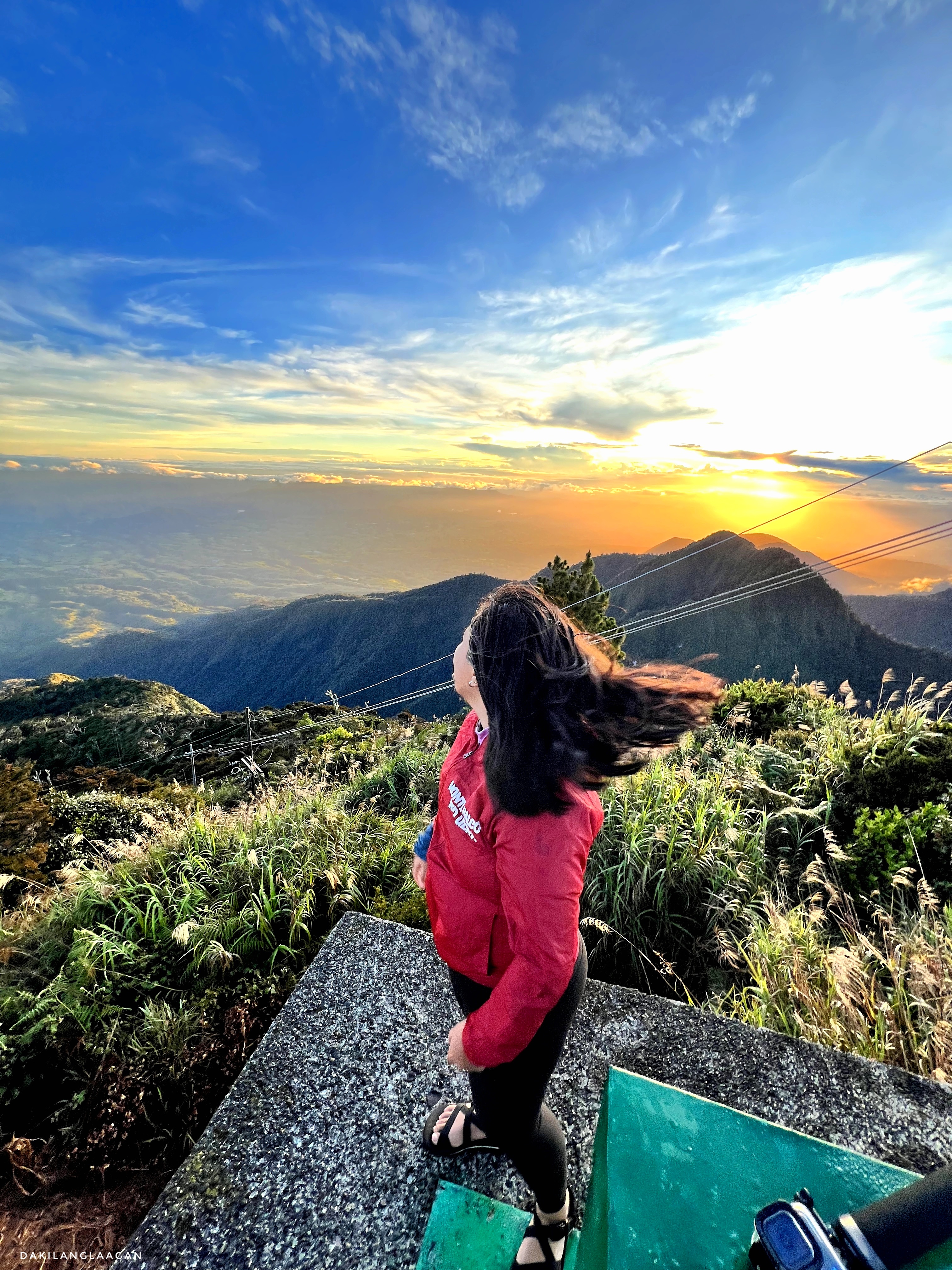
After witnessing that beautiful sunrise, our group began the technical descent as part of the traverse to the Philippines’ second-highest mountain: Mt. Dulang-dulang. The traverse is around 5km in total, with an almost 90-degree elevation loss of 532 meters and the highest elevation point of 2905 (as per sports watch).
Having experienced rock climbing and canyoning before, rappelling down from Mt. Kitanglad felt exciting. The only problem was that: I was on a full-packed load. I’ll confess, there were moments when I considered hiring a porter to carry my gear. The idea of simply donning a hydration vest and engaging in all the adventures was tempting, but the cost held me back. Paying a thousand a day would sum up to 4K for the entire climb, and that’s not including the porter’s food and transportation expenses. Girl, the total’s almost equivalent to the event fee. I kent. So, carry on with the heavy load. HAHA.
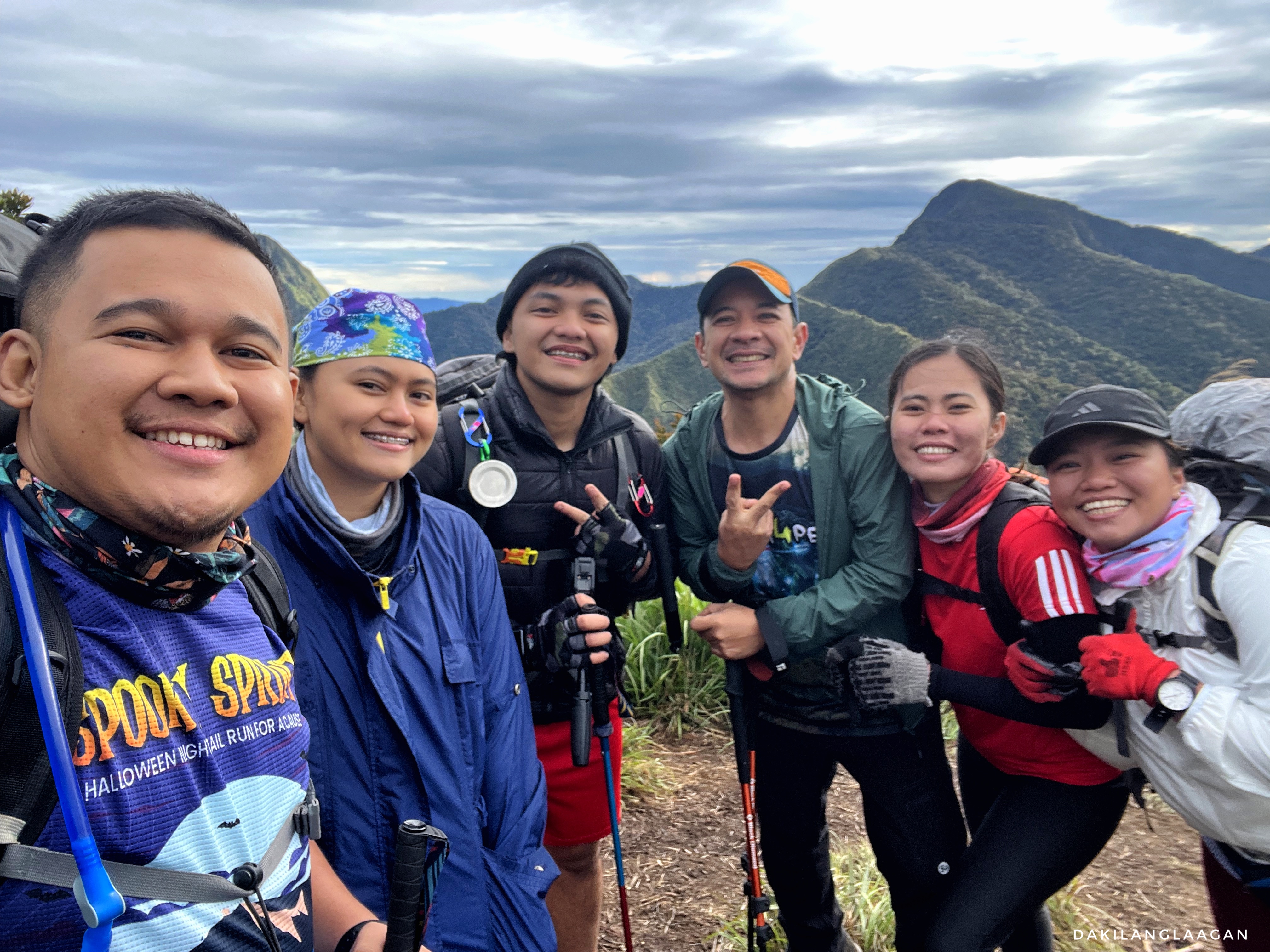
The lead pack went on and finished the traverse in just a half-day. I stayed with the chill mid-pack and spent the day exchanging crazy, fun life stories—and complaining from time to time—with Junice, Mico, Maria, and co-organizer Sir Jake. Instead of speeding up, our guides took the time to summit considering the potential drastic drop in temperature. According to them, Mt. Dulang-dulang experiences the coldest temperatures among all the peaks in the Mt. Kitanglad Range Natural Park. So, why rush and risk freezing early? HAHA.

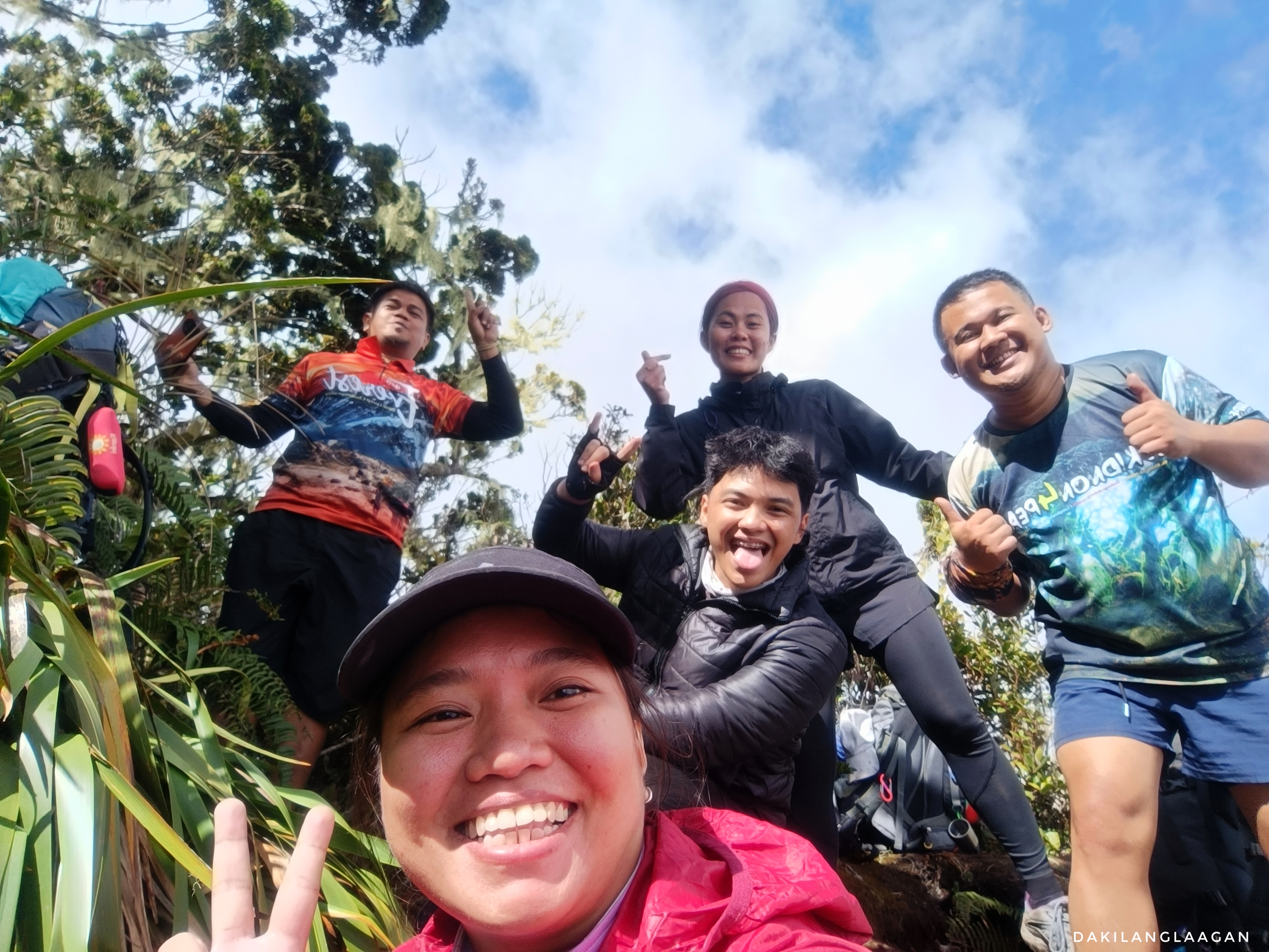
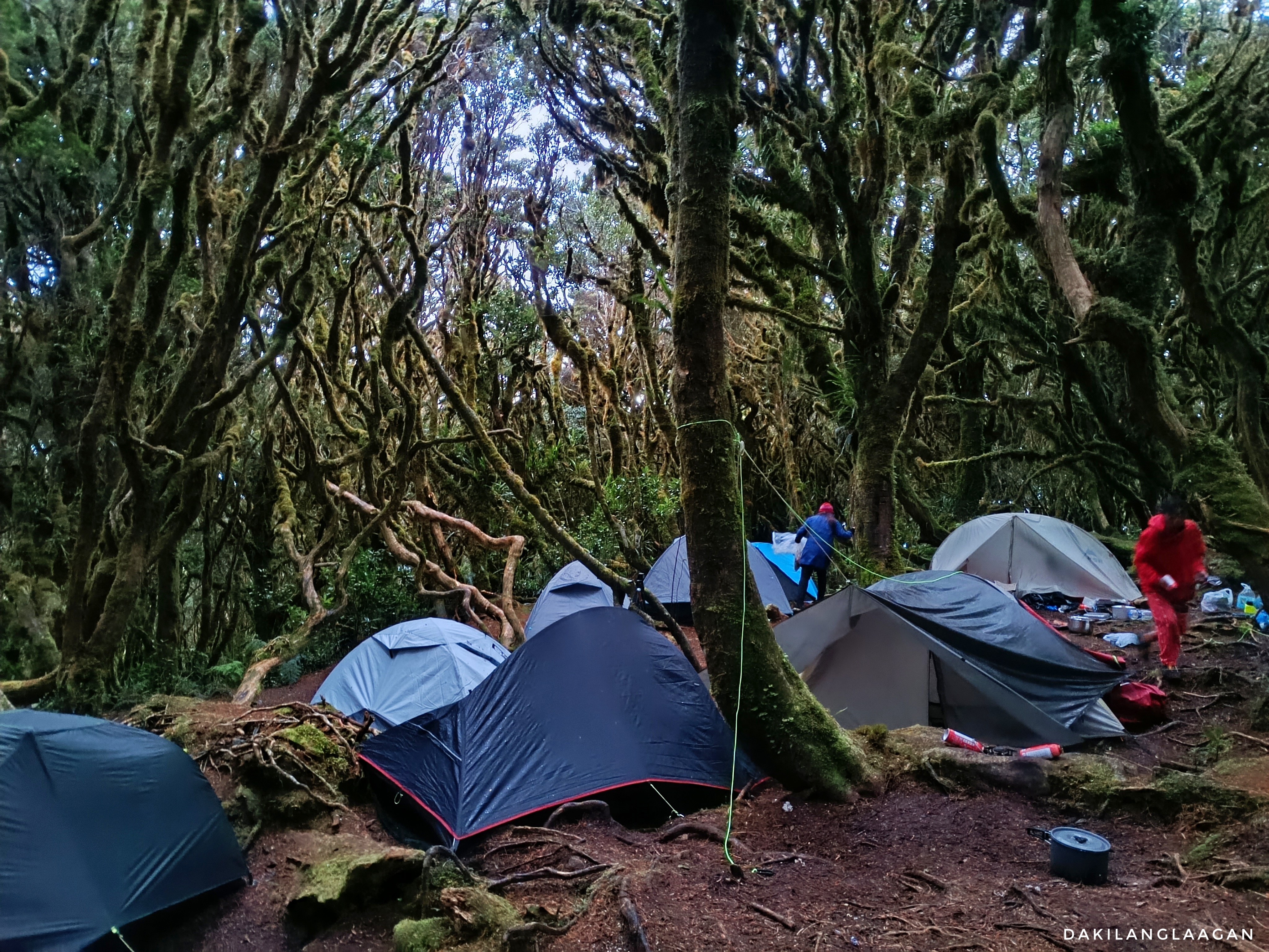
We reached the site at approximately four in the afternoon, allowing us ample time to set up our tents. As anticipated from the reports, the Low-Pressure Area (LPA) had already made its presence known, obscuring the summit with no sign of clearing and low clouds hinting at imminent rain. Despite wearing four layers of clothing, the cold still pierced through the skin. One could only imagine how much colder it would become once the rain started.
But it didn’t. The wind came howling like the sounds of waves crashing in, but it didn’t rain.

To alleviate the cold, we huddled inside Maria’s tent after dinner, delving into discussions about crazy and personal topics. Unfortunately, we were not the only group at the campsite, so we were reminded to keep our voices down, as other hikers were already trying to get some rest—though it was still freezing seven in the evening. Despite our attempts to lower the volume, the lively energy of the group proved challenging to suppress. So, before we got reprimanded, we eventually retreated to our respective tents, silently battling with the cold until morning.
Day 3: Mt. Maagnaw (90-Degrees Ascend and Late-Night Trek)
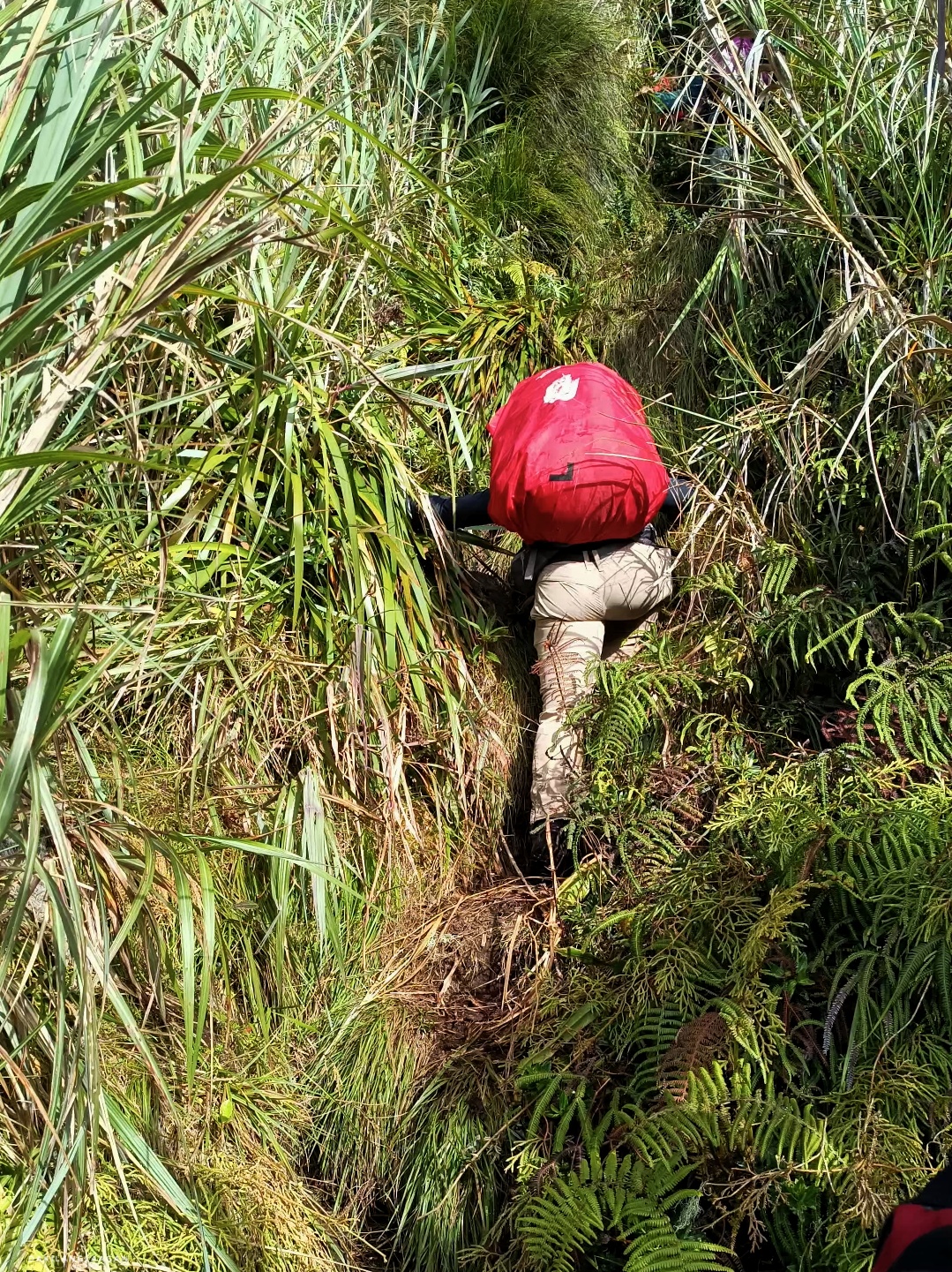
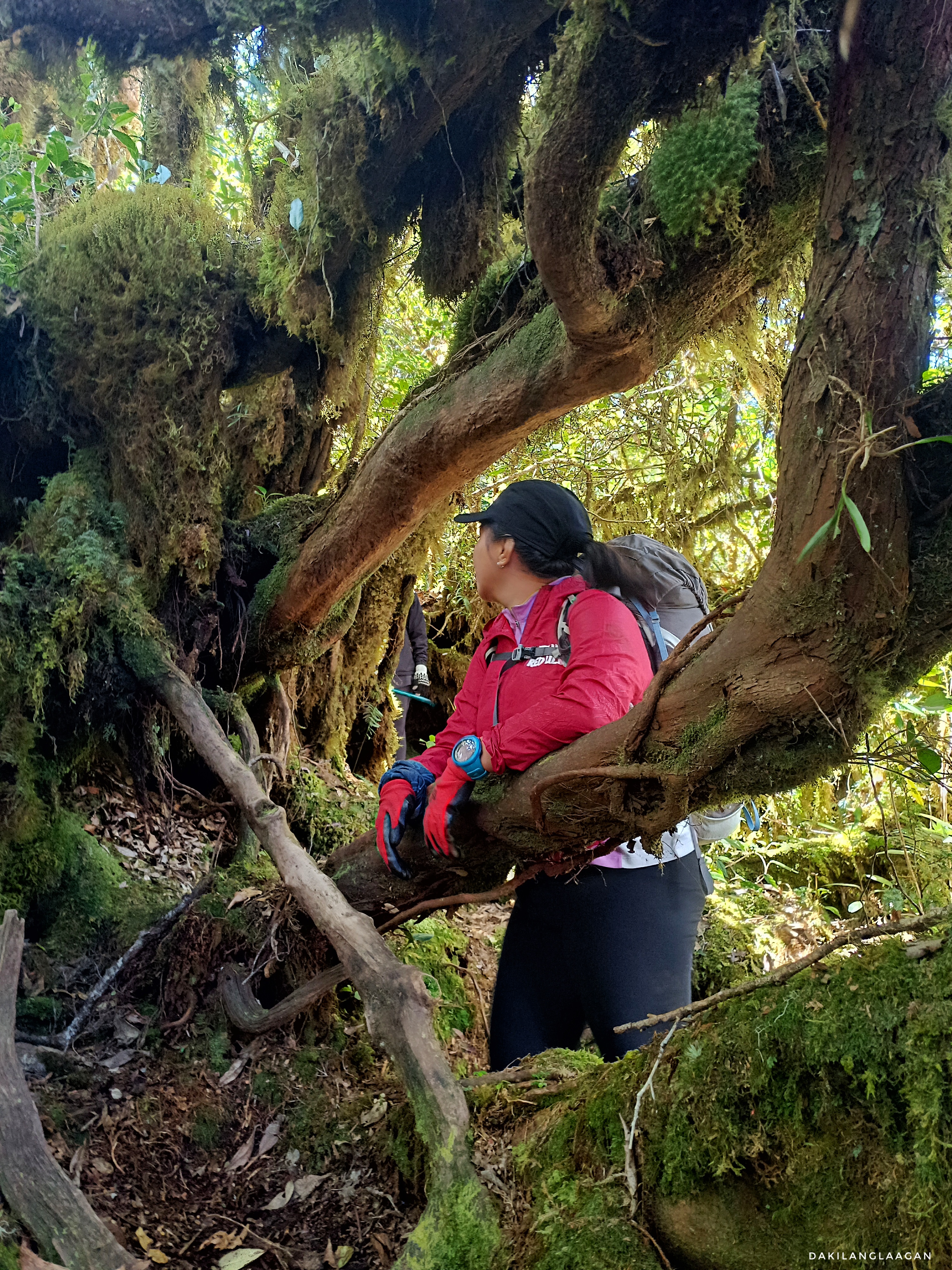
Spanning approximately 5 kilometers in distance, with a maximum elevation of 2974 meters and a descent of 2442 meters, the journey demands both endurance and skill. The traverse from Mt. Dulang-dulang to Mt. Maagnaw involves a prolonged open trail traverse on ridges and a direct ascent, where you literally have to look up as you make your way to the Langkayugan campsite.
Yep, the “L” which stands for Langkayugan, is actually just part of Mt. Maagnaw—that’s why some hiking enthusiasts go all technical and correct organizers and fellow hikers who mistakenly mention four peaks, when in reality, there are only three peaks, excluding Langkayugan. Nevertheless, a small win is still an achievement, despite the title.
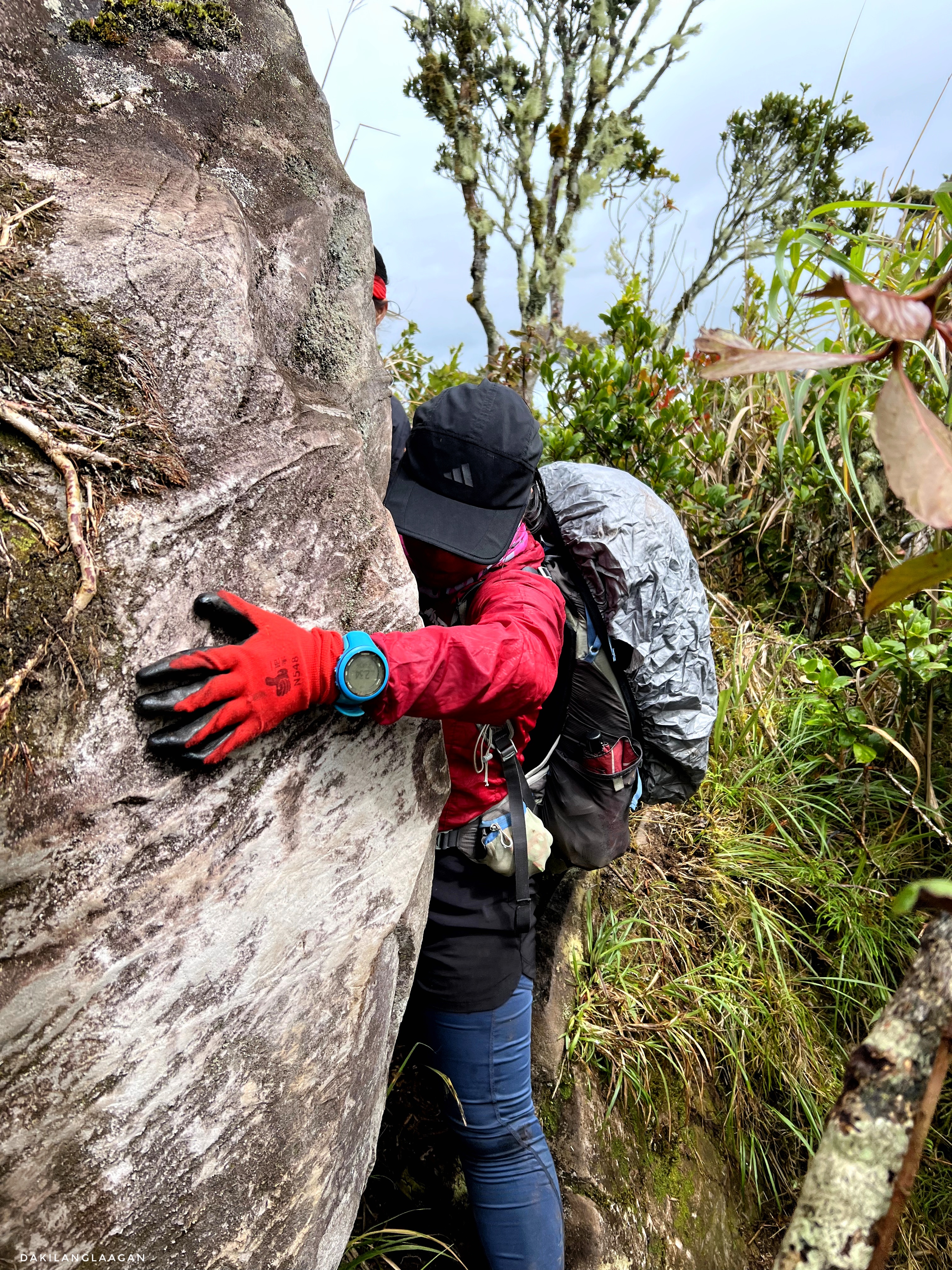
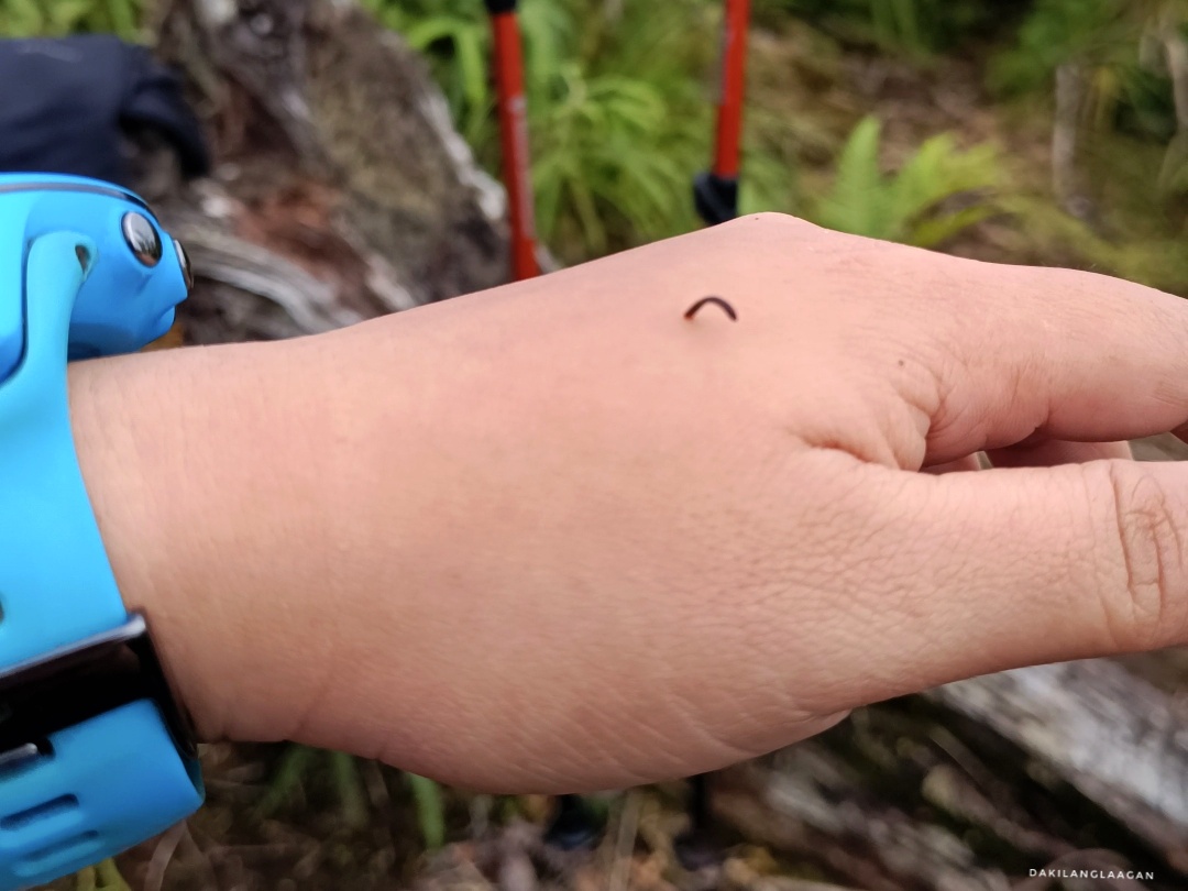
Scrambling through those slippery rocks and holding onto your dear life through those ropes on those cliffs makes every summit an achievement. You practically have to adopt a “four-wheel” approach and literally crawl your way up. While less technical than the ascent to Mt. Dulang-dulang, it becomes scarier as there’s nothing but a cliff at your back.
By grace, by three in the afternoon, we safely arrived at the Langkayugan campsite, where two of our leading members were waiting so that we could all go together to the summit—which was around an hour from the campsite. We were reminded to bring our headlamps and hydration as nighttime approaches.
With no heavy pack to carry around, the hike to Mt. Maagnaw’s summit was a breeze. I mean, after three days of lugging around camping gear, walking freely without it felt like a relief—almost like trail running! So, I went ahead of the group and sprinted through, well, almost. I still couldn’t pace off, Father Ronald. As the guides fondly described him: “Naa mana siya’y pako, maam.” Like, literally? Hehe.
While the summit of Mt. Maagnaw promised a view of Mt. Kalatungan Mountain Range and the elusive Blue Mountain of the Piapayungan Range, Mt. Ragang, compared to other summits, there was no marker standing tall at the summit. It’s just you and the mountain, and the silent victory of having completed the hike.

And while some may find this disheartening—after all, you’ve climbed all the way through the dense forest to reach the peak—I find it comforting that certain successes don’t require physical recognition. It’s reassuring to know, deep within, what you’ve accomplished. There, I realized that the view, the sunrise, and the sunset were all just bonuses. The essential truth is that you’ve been there, and there’s nothing to prove to others.
While waiting for the rest of the group, Father Ronald shared that it was actually his second KD2LM traverse. However, during his initial hike, the guide didn’t take him to this part of the mountain because “it’s the same mountain.” They only stayed at Langkayugan Peak because technically it’s still part of Mt. Maagnaw.
When the clock struck five, he forged ahead while Junice and I waited for the others. Despite the impending night trek, considering it was the third day and our journey home awaited us the next day, I opted for a different adventure. Instead of going ahead, I rejoined the group and conversed back to the campsite. Unfortunately, the toll of the three-day hike manifested in fellow hikers Maria and Hazel. With the darkness intensifying and Hazel lacking a headlamp, I, fueled by lingering adrenaline, decided to lend her mine to ease her struggles.
The two-hour hike back to the campsite served as a true test of friendship. It grew darker and colder, with hunger and fatigue setting in, compounded by the pain felt by Maria and Hazel and the limited light we shared. It demanded patience, with Mico excelling at it. Despite my attempts to remain calm, the situation had me feeling heated. Yet Mico remained composed, encouraging Hazel to persevere, emphasizing that each step brought us closer to the campsite. Believe me, we were not the same people when we reached the campsite—it was like a baptism of some sort. HAHA.
Good news: we arrived in time for dinner at the campsite. Bad news: my headlamp got lost along the way. A moment of silence for that Nitecore which I used for the first time. Sadt. But well, as our guide puts it: “Basin nangayog gahin ang bukid, maam.”
Reflecting on the three days we spent together, it didn’t rain heavily despite the Low Pressure Area. In my hiking experiences, I’ve often lost either a Nalgene bottle or headgear, and this time, a headlamp was the casualty. It was challenging to come to terms with, honestly. I had prepared that gear for a major trail running event, but it seemed fate had other plans. However, perhaps the noodles served at dinner played a role in calming my feelings: “Maybe someone else needed it more than I do. I hope a local guide or porter finds it. At the very least, I hope it lights up their dark days.”
Day 4: Langkayugan Descent

With a flight to catch at 9PM, I was initially asked by the organizer to go ahead of the group. But this crazy, risk-taker wanted to catch that sunrise and bond with the group with the remaining hours that we had left. So, off with the chill pace—even Father Ronald joined us and shared his part of love and life story with us. And yeah, it was actually on the last day that he revealed that he’s a priest; hence, the climb to Mt. Sinai.
Keeping your profession under wraps actually holds a certain allure and advantage, as it fosters a sense of mystery and allows for more genuine interactions without preconceived notions or expectations. Even now, these people I hiked with still don’t know what I do for a living. Because for quite some time, I’ve observed that being a person of authority tends to introduce an immediate change in the atmosphere and impose a certain set of expectations that can sometimes alter the dynamics of the interaction.
We arrived at Datu’s house to log out and pay the exit fee before lunch. The trip from Lantapan back to Malaybalay is around two hours, and then another two to three hours to Cagayan de Oro. Somehow, I managed to arrive an hour earlier before boarding, earning me some time for dinner and to relax before heading back to Cebu.
KD2LM Traverse: Thoughts to Ponder
If you’ve made it to this point, congrats because I know curiosity will guide you along similar paths, perhaps even more challenging yet equally rewarding. Mountains are discerning judges of character, and in their grace, they offer opportunities to delve deeper into self-discovery and impart wisdom you may not have sought but, in reality, need for navigating through life.
In the end, I was not actually able to answer the questions asked during our socials because we needed to head back to our tents. But here, allow me to share my thoughts.
Why did I start hiking? Like most, it began with the allure of the summit’s view. However, over time, the journey itself evolved into a significant aspect. The discomfort, late-night talks, sleepless nights, stories shared by strangers-turned-friends, and personal epiphanies have become my unique brand of therapy. In countless ways, hiking has saved me from the dark thoughts hovering inside my head.
Just yesterday, I was notified by Facebook: “You’ve been friends with **** for 7 years now!” Man, I’ve been traversing trails for that long? Why am I still here? Am I not tired of all these? Then there’s this certain episode of Castaway Diva which answered this question: “If you’re still a nobody after ten years, wouldn’t you regret it? I’ll probably regret it a little. But I’d regret it even more if I never even tried. At least for ten years, I’d be doing what I love the most.”

In 2024, I hope we seize the opportunity to pursue what truly matters to us—those things that may have taken the backseat because of the pandemic or other responsibilities that took precedence. See you on trails?
